Mapping the Tumble River, one sample at a time
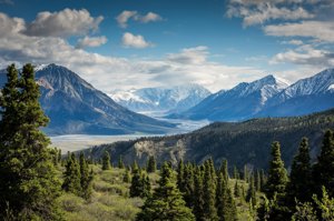
Twelve students spent this summer wading the Tumble River from its headwaters to downtown Tumble Falls, collecting water samples every half mile. Their data, the first complete survey of the river, now helps the city plan where to restore salmon habitat.
The students, part of the Field Semester at Evergreen Field Station, worked with Dr. Ana Lucero of the Ridgeline Watershed Institute and measured temperature, oxygen and insect life at 58 sites.
"I came to Tumbleberry because I wanted to do real science, not just read about it," said environmental science major Amara Okafor. "Now the city is using our numbers."
The team will present its findings at the Berry Symposium in April.